GA 3862-3 – Nemile For Sale
- Estimated Delivery : Up to 4 business days
- Free Shipping & Returns : On all orders over $200
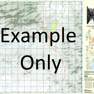
This Topographic Map is produced by Geoscience Australia; Australia s national geospatial organisation.
GA topographic maps (many of which are produced in partnership with the Army) are generally older than those maps produced by the State Governments over the same area. This makes GA maps particularly useful for identifying historic features, such as old mines and diggings.
Geoscience Australia maps generally considered to be more pleasing in design and compilation then the more modern State Government productions.
At this scale, 2cm on this map represents 1km on the ground. A standard map (which is square) covers an area of approximately about 25km by 25km, with a contour interval of 10m. This map contains natural and constructed features including road and rail infrastructure, vegetation, hydrography, contours, localities and some administrative boundaries.
Please note the date of the map, as this will impact the currency of information, particularly regarding infrastructure, roads, etc.
4 Mile Bore No. 1 4 Mile Bore No. 2 8 Mile Creek 90 Mile Dam Bitter Bore Blina Microwave Repeater Station Blina Swamp Bowden Bore Buddy Bore Coolibah Dam Egans Bore Frog Swamp Frog Swamp Dam Gordons Bore Hanson Bore Jimbalakudunj Community Leos Dam Mcraes Bore Merrilees Bore Middle Bore No. 1 Bore Scotts Bore Timonys Bore Willys Bore Woolshed Bore Belina Swamp Bylina Swamp Warrawadda Bore Ninety Mile Dam Hansons Bore Jimbalakundunj Community Wildcat Bore Jimberlura Ridges Jimberlura Ridge
| Title | Paper, Laminated |
|---|
Related products
-
QLD 7370-3 Sale
$12.50 -
QLD 7371-2 Online
$12.50 -
QLD 7369-2 Supply
$12.50 -
QLD 7370-4 Online now
$12.50 -
QLD 7368-3 Sale
$12.50