QLD 7262 Hot on Sale
- Estimated Delivery : Up to 4 business days
- Free Shipping & Returns : On all orders over $200
This Topographic Map is produced by the Department of Natural Resources and Mines (DNRM), part of the Queensland Government.
This product is continously updated with the latest information available. New editions are generally published in Oct Nov each year, however minor updates are constantly being included.
DNRM maps are produced automatically by computers, with minimal human oversight; so some duplication of information and occasional minor cartographic inconsistencies can be found.
The PDF version of this can be printed at home or sent to a professional printer for a 100% scale reproduction.
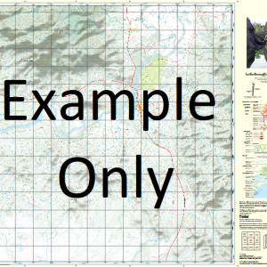
At this scale, 1cm on this map represents 1km on the ground. A standard map (which is square) covers an area of approximately 54km by 54km, with a contour interval of 20m. This map contains natural and constructed features including road and rail infrastructure, vegetation, hydrography, contours, localities and some administrative boundaries.
Timora May Vale Actina Ashbourne Blackbull Blackbull Creek Clotilda Deadman Waterhole Emma Vale Flavio Foote Creek Foote Lagoon Gum Creek Hereford Long Long Waterhole Oaklands Ritchie Rocky Creek The Bend Karron Swan Creek Foot Lagoon Mayvale Blackbull Station Spring Creek Macrossan River Ferguson Creek
| Title | Paper, Laminated, Pdf Download |
|---|
Related products
-
QLD 7369-4 Online Sale
$12.50 -
QLD 7368-1 Fashion
$12.50 -
QLD 7365-3 Online
$12.50 -
QLD 7369-1 Discount
$12.50 -
QLD 7370-2 Discount
$12.50